Our partner platform in
Satellite imagery processing and analysis
.png?width=600&height=300&name=BUTTON%20(3).png)
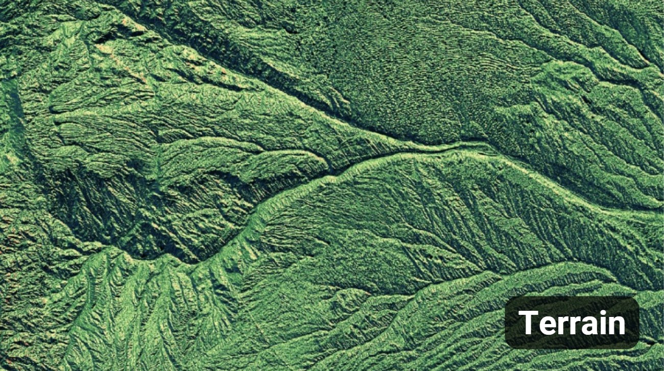
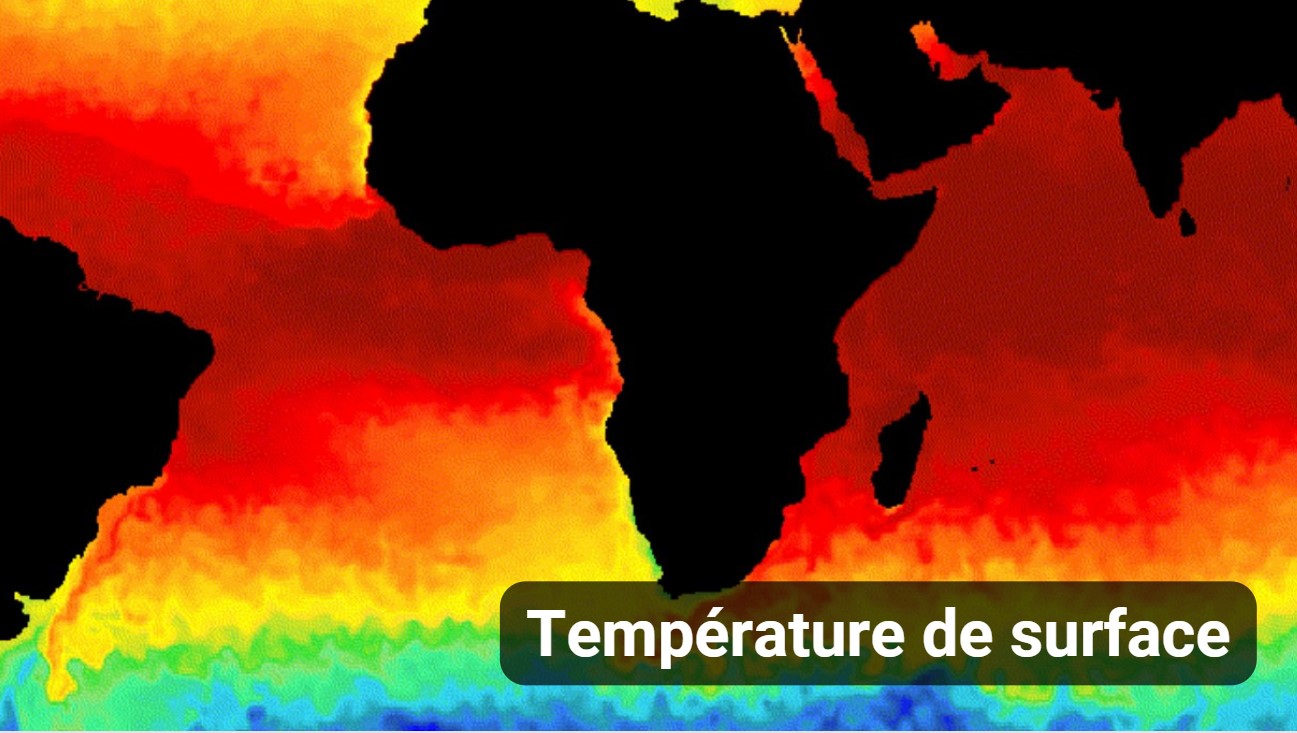
Google Earth Engine offers a very large catalogue of satellite images and ready-to-use Datasets to enrich your processes and allow you to base your geospatial analyses.




Ground mapping and pattern recognition leveraging Google Earth Engine and Deep Learning
Deep Learning and Google Earth Engine
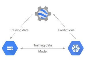
Leverage both the analytical capabilities of Earth Engine and the predictive power of AI Platform. There are a lot of environmental phenomena that can be now tackled with the same approach.
CLASSIFIER in Google Earth Engine
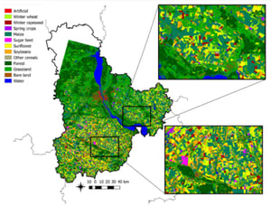
Ready-to-use Classifier package to handle classification by traditional Machine Learning algorithms.
Including :
-
Classification and Regression Tree (CART)
-
Random Forest (RF)
-
Naive Bayes (NB)
-
Support Vector Machine (SVM)
TensorFlow and Google Earth Engine
Training multi-layer neural network models to recognize patterns from satellite imagery.
Using Fully Convolutional Neural Networks (FCNN) specifically designed for images where the spatial configuration of pixels is relevant.
Ready to get started on Google Earth Engine ?
Quickly and accurately process huge amounts of satellite imagery, drive sustainability and focus on what you do the best, relying on geospatial analysis.
Arkeup GIS, certified reseller and integrator partner of Google Earth Engine.
To ask for a demo, write us on this form!
@2x-1.png?width=200&height=52&name=Logo%20couleur%20-%20horizontal%20(7)@2x-1.png)