Arkeup GIS named Google Earth Engine Partner
Google Earth Engine is a cloud-based geospatial analysis platform that enables users to visualize and analyze satellite images of our planet. Google Earth Engine brings together more than 40 years and 70 petabytes of historical and current global satellite imagery, along with the tools and computational power necessary to analyze and mine that vast data warehouse.
Scientists and non-profits use Earth Engine for remote sensing research, predicting disease outbreaks, natural resource management, and more.
Google Earth Engine is now generally available with Google Cloud for commercial use.
Get more details here
Google Earth Engine offers a wide range of use cases and applications helping NGOs, governments, communities and private companies to tackle climate change, preserve natural resources, reduce carbon emissions, increase food security and other sustainability goals.
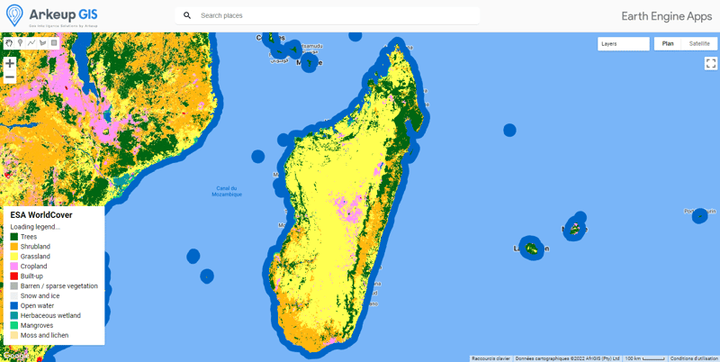
"Our first application leverages satellite images and analysis from Google Earth Engine and applies machine learning algorithms from TensorFlow to predict crop yield in Madagascar, for rice and vanilla cultivation. We are working on other use cases and applications in other industries, including but not limited to: infrastructure management, sustainable energy and risk assessment in insurance."

You want to learn more, you are looking for training, advice or personalized support :